
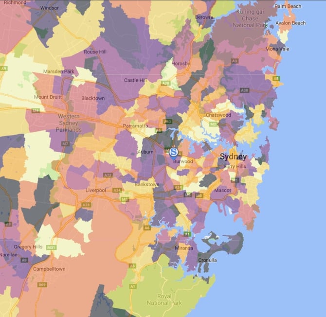
Location Layers allow you to build thematic or point layers attached to a pin to visualise your data including but not limited to:
- Sales and transaction data
- Customer/member locations
- Performance insights
Creating Location Layers
Import Sheets
Location Layers are created by importing your data by using a .csv file. Outlined below are the requirements of data that must be included in your .csv depending on the type of layer that is being created (Thematic/Point).
This section will take you through the requirements of data that is necessary for you to create the import sheets for your Location Layers, along with some examples of what these import sheets look like.
Import Sheets - Thematic Layer
|
Reference Data and Country |
Required Reference Layer Code |
|
Post Codes
(Australia Only) |
POA_CODE_2021 |
|
Suburbs
(Australia and New Zealand) |
SSC_CODE_2021 |
Import Sheets - Location Points
Location Point layers only require the latitude and longitude of the points you wish to be included in your layer.
If you have the addresses of your locations and need help obtaining the coordinates, reach out to your Client Services Manager.
** THE HEADINGS FOR LATITUDE AND LONGITUDE MUST BE LOWERCASE **
|
Example Sheets |
Creating a Thematic Location Layer
Creating a Location Based Thematic Layer will allow you to visualise and analyse data in the areas surrounding your location.
You may wish to use this to understand how many transactions from surrounding suburbs or post codes are contributing to that particular location, or measure possible impact of adding new locations.